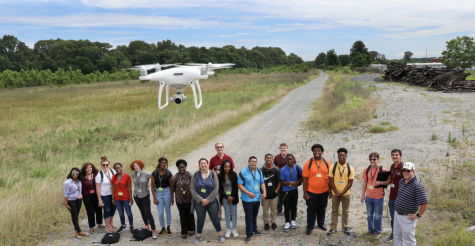
Researchers discover unknown land features at Poverty Point
Research at Poverty Point World Heritage Site has uncovered new information about the historical land.
Poverty Point, located in West Carroll Parish, is a complex of earthen mounds and C-shaped earthen ridges built some 3,700 to 3,100 years ago.
Diana Greenlee, a station archeologist at Poverty Point and a ULM adjunct professor in the School of Sciences, said recent research shows the site is “much more complex than previously realized.”
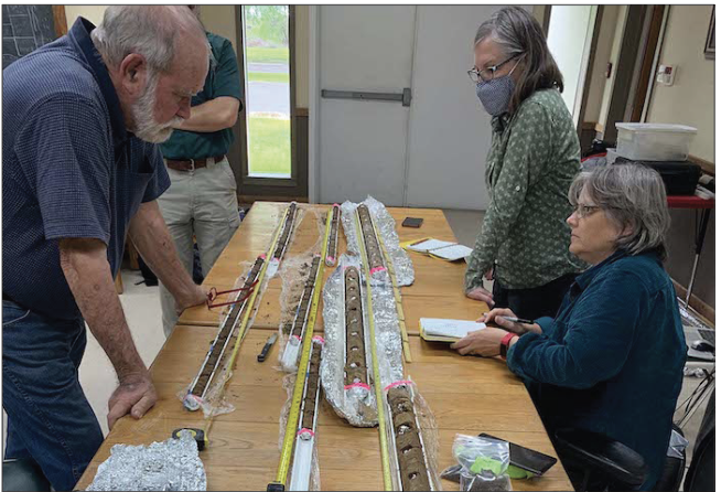
Parts of Poverty Point’s central Plaza were surveyed using a ground-penetrating radar. The radar found nearly 2,000 reflectors, which are objects or soil disturbances that reflect the radar signals.
The research is a joint project between ULM and Minnesota State University Moorhead, and was funded by a grant from the National Park Service.
Several of the identified reflectors were tested using a combination of soil coring, analyses of soil samples, and sieving for artifacts, and by lowering a geophysical sensor down the cored holes.
“Although more work remains to be done, the results show that the Plaza contains a number of distinct earthworks,” Greenlee said. “A subtle high spot in the Plaza, the West Plaza Rise, was not a natural rise, but a purposely elevated feature within the Plaza fill.”